Aerial Topographic Mapping
SOLAR PHOTOVOLTAICS
Information
Topographic mapping is a routine task for solar plant design and construction projects. Visualise your solar plant project using high-resolution aerial data at the fraction of the time and cost of traditional methods. Using a combination of both aerial and ground-based methods, Above delivers a high-resolution map of the site including accurate elevation data.
Deliverables
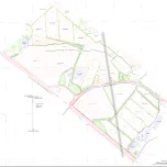
- Orthomosaic: A highly accurate and detailed top-down 2D orthometric image of your entire site. Provided in a geoTIFF format.
- Digital Surface Model (DSM): A full digital elevation model of your site showing the elevation of every pixel. A useful tool for confirming terrain profiles.
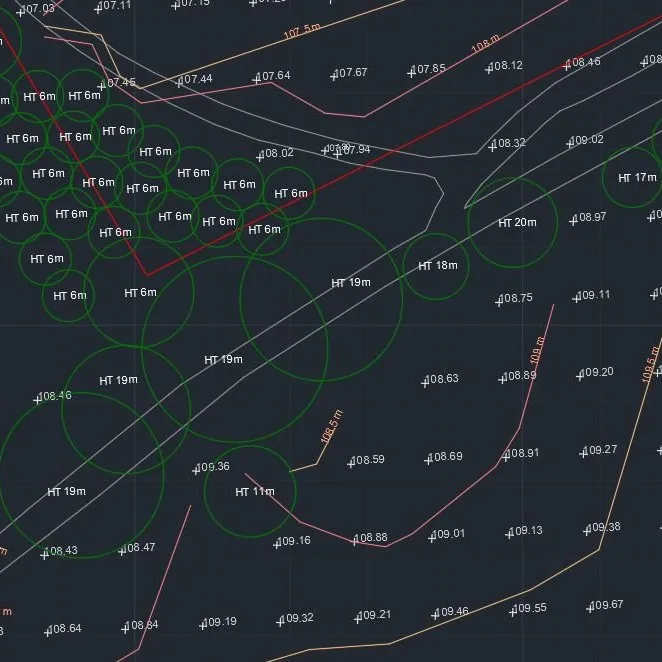
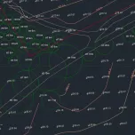
- Above Linework: Above provides linework of your site, including contours and labelled layers of important features. We can also perform ground-based surveying of specific features if required. Examples of important features:
•Vegetation
•Water (lakes, rivers and ponds)
•Roads and tracks
•Power lines
•Buildings and structures
•Other obstacles that may be a potential source of shading or obstruction
Above linework and orthomosaic details site features such as powerlines, vegetation and other potential obstructions. This example illustrates a combination of drone data and ground-based data.